Розробка уроку "Great Britain"
Lesson plan
Class: 8
Unit: Great Britain. Ukraine
Topic of the lesson: Great Britain. Geographical Position of Great Britain
Aims:
- to introduce and active some vocabulary
- to develop basic skills
- to develop culture of communication
Type of the lesson: introductory lesson
The procedure of the lesson
I. Greeting. Organizing
II. Warmer up activity
What do you know about this country? Can you name any of British cities/places of interest/facts of history/famous people/food?
III. Introducing the topic of the lesson
Today we are going to start a new topic – Great Britain and remember general information about this country.
IV. Introducing and practising the new material
Task1 – Listen to the text ‘United Kingdom’ and then choose and circle the letter of the correct variant to fill in the blanks
United Kingdom
Some people call it Britain. Others say Great Britain. Many people mistakenly call the whole country England. But its real name is a mouthful: the United Kingdom of Great Britain and Northern Ireland. That’s why it’s usually called the United Kingdom or UK for short. The United Kingdom is a country made up of four parts: England, Scotland, Wales, and Northern Ireland. For centuries, it was ruled by kings and queens. The United Kingdom still has a monarchy, although today its power is mostly symbolic. England is the biggest part, but don’t forget the others. Each part was once ruled separately. Each has its own culture and its own native language, which some people still speak. Each even has its own national soccer team!
1. The official name of the country is …
a) Britain
b) Great Britain
c) the United Kingdom of Great Britain and Northern Ireland
2. The country is usually called the United Kingdom, or the UK because …
a) this sounds better
b) this is the official name of the country
c) the official name of the country is too long
3. The United Kingdom is a country made up of …
a) three parts
b) four parts
c) five parts
4. The parts of the United Kingdom are …
a) England, Scotland, Wales, and Northern Ireland
b) Britain, Scotland, Wales, and Northern Ireland
c) England, Scotland, Wales, and Ireland
5. The United Kingdom still has a monarchy, and that means …
a) it has no parliament
b) the head of the country is a queen or a king
c) there are kings and queens, princes and princesses in the UK
6. The biggest part of the country is …
a) England
b) Scotland
c) Wales
Key: 1-C, 2-C, 3-B, 4-A, 5-B, 6-A
Task2 – Read the text and put each of the following words in its correct place in it!
Thames Great Britain British Isles Severn Ben Nevis Atlantic Ocean
The United Kingdom of Great Britain and Northern Ireland is situated on the 1) _____________. The British Isles are separated from Europe by the English Channel. The British Isles are washed by the North Sea in the East and the 2) _____________ in the West. The population of 3) _____________ is over 56 million. The territory of Great Britain is divided into four parts: England, Scotland, Wales and Northern Ireland. England is the richest, the most populated part in the country. Scotland is a land of mountains. Its highest peak is 4) _____________. The British Isles have many rivers. The longest of them is the 5) ___________. It flows into the Irish Sea. The 6) _____________ is over 200 miles long. London, the capital of Great Britain, stands on it.
Key: 1-British Isles, 2-Atlantic Ocean, 3-Great Britain, 4-Ben Nevis, 5-Severn, 6-Thames
Task3 – Read the text and answer the questions
The United Kingdom of Great Britain and Northern Ireland is situated on the British Isles. They lie to the north-west of Europe. The British Isles are separated from the continent by the narrow strait of water which is called English Channel. The United Kingdom consists of four parts: England, Scotland, Wales and Northern Ireland. England, the central part, occupies the most of the island of Great Britain. To the north lies Scotland and to the west the third part of the country, Wales, is situated. The fourth part is called Northern Ireland and is located on the second island. Each part has its capital. The capital of England is London, Wales has Cardiff, Scotland has Edinburgh and the main city of Northern Ireland is Belfast. Great Britain is a country of forests and plains. There are no high mountains in this country. Scotland is the most mountainous region with the highest peak, Ben Nevis. The rivers of Great Britain are not long. The longest rivers are the Thames and the Severn. The capital of the United Kingdom, London, stands on the bank of the Thames. As the country is surrounded by many seas there are some great ports at the seaside: London, Glasgow, Plymouth and others. Wales is a country of lakes. It has the most famous lake in the world – Loch-Ness. Seas and oceans influence the British climate which is not too cold in winter but never hot in summer. Great Britain is a beautiful country with old traditions and good people.
1. Where is Great Britain situated?
2. What is the relief of Great Britain?
3. What are the parts of Great Britain? What are their capitals?
4. What influences the climate of the British Isles?
5. What region in Great Britain has the highest peak? Name it
Task4 – Match the two parts of the sentences
1. The official name of Great Britain is…
2. It is situated on…
3. Great Britain is…
4. Great Britain includes…
5. The United Kingdom or the UK consists of…
6. The UK is often referred to as…
7. The UK is an island state consisting…
8. Over three-quarters of Britain’s land is…
9. The capital of the UK is…
10. The capital of Wales is…
11. The Scottish capital is…
12. The capital of Northern Ireland is…
a) the name of the major island of the United Kingdom.
b) Great Britain and Northern Ireland.
c) of more than 5000 large and small islands.
d) London, in England.
e) the United Kingdom of Great Britain and Northern Ireland.
f) Cardiff.
g) Belfast.
h) the British Isles.
i) Edinburgh.
j) used for farming.
k) England, Scotland and Wales.
l) Great Britain.
Key: 1-E, 2-H, 3-A, 4-K, 5-B, 6-L, 7-C, 8-J, 9-D, 10-F, 11-I, 12-G
Task5 – Listen to the text and choose the correct answer
The United Kingdom lies off the northwest coast of Europe. There are two main islands – Great Britain and Ireland. There are hundreds of smaller ones, too, especially off the coast of Scotland in the north. Northern Ireland is on the same island with the country of Ireland, but it’s a part of the United Kingdom. The United Kingdom has lots of coastal towns. Rolling plains cover much of the interior land. There are mountains, too. Ben Nevis, in Scotland, is the highest at 1343 metres. England has an area of mountains and lakes called the Lake District. Wales is almost entirely covered by craggy mountains and deep, green valleys.
1) Where does the United Kingdom lie?
a. Off the northwest coast of Europe
b. On the northwest coast of Europe
c. Off the northeast coast of Europe
2) What are the two main islands called?
a. Britain and Ireland
b. Great Britain and Ireland
c. United Kingdom and Ireland
3) Where is Ben Nevis?
a. In England
b. In Scotland
c. In Wales
4) Are there any mountains in the UK?
a. Yes
b. No
c. Not mentioned
5) What is an area of mountains and lakes called?
a. Ben Nevis
b. Rolling plains
c. The Lake District
6) What is Wales almost entirely covered with?
a. Mountains and valleys
b. Peaks and canals
c. Rivers and lakes
7) What isles is the country situated on?
a. English
b. British
c. United
8) How many main islands are there?
a. One
b. Two
c. A lot
9) Where is Northern Ireland situated?
a. On the same island with the country of Britain
b. On the same island with the country of England
c. On the same island with the country of Ireland
10) What covers much of the interior land?
a. Mountains
b. Rivers
c. Plains
11) How high is Ben Nevis?
a. More than one thousand metres
b. More than two thousand metres
c. More than three thousand metres
12) Where is the Lake District situated?
a. In England
b. In Scotland
c. In Wales
Key: 1-A, 2-B, 3-B, 4-A, 5-C, 6-A, 7-B, 8-B, 9-C, 10-C, 11-C, 12-A
V. Evaluating the learners activity and knowledge of the lesson
VI. Summarizing the whole material of the lesson
VII. Homework giving
Fill in the gaps. Use the following words:
Slieve Donard, British Isles, Severn, Atlantic Ocean, Scafell Pike, official name, English Channel, Ben Nevis, Thames, situated, Mount Snowdon, rivers
The 1) __________ of the country we usually call “England” and occasionally “Great Britain” is “The United Kingdom of Great Britain and Northern Ireland”. The UK is 2) __________ on the group of islands lying just off the mainland of north-western Europe. The 3) __________ include Great Britain, Ireland and a number of smaller islands. Great Britain is separated from the European Continent by the 4) __________, the narrowest part of which is called the Strait of Dover. The British Isles are surrounded by the shallow water of the Irish Sea and the North Sea, the Norwegian Sea, the North Channel and the 5) __________.
Great Britain is a country of forests and plains. There are no high mountains in this country. Scotland is the most mountainous region with the highest peak, 6) ___________. The highest point in England is 7) __________. The highest point in Northern Ireland is 8) __________. Wales’s highest point is 9) ___________. The 10) ____________ of Great Britain are not long. The longest rivers are the 11) __________ and the Thames. The capital of the United Kingdom, London, stands on the bank of the 12) __________.
VIII. End-of-lesson activity
Geography quiz
1. This architectural monument is the most ancient building on the territory of Great Britain. What is it? Where is it situated?
2. This wall can’t be compared in length with the Great Chinese Wall, still it is the longest wall in the UK. Which wall is meant? What part of the country is it situated in? What was it built for?
3. The name of what British city can be found in your flat?
Key: 1. It Is Stonehenge. It was supposedly built around 3, 000 B.C. by ancient Druids for religious and astronomical purposes and is situated a Salisbury Plain.
2. It Is Hadrian Wall built by the Romans in the 2nd – 3rd century AD on the orders of the Emperor Hadrian to protect the northern frontier of Roman Britain from Scottish tribes. It Is 75 miles long (about 120 km), and it still can be seen in the Northumberland National Park.
3. It is the famous city of Bath, known for its hot springs.
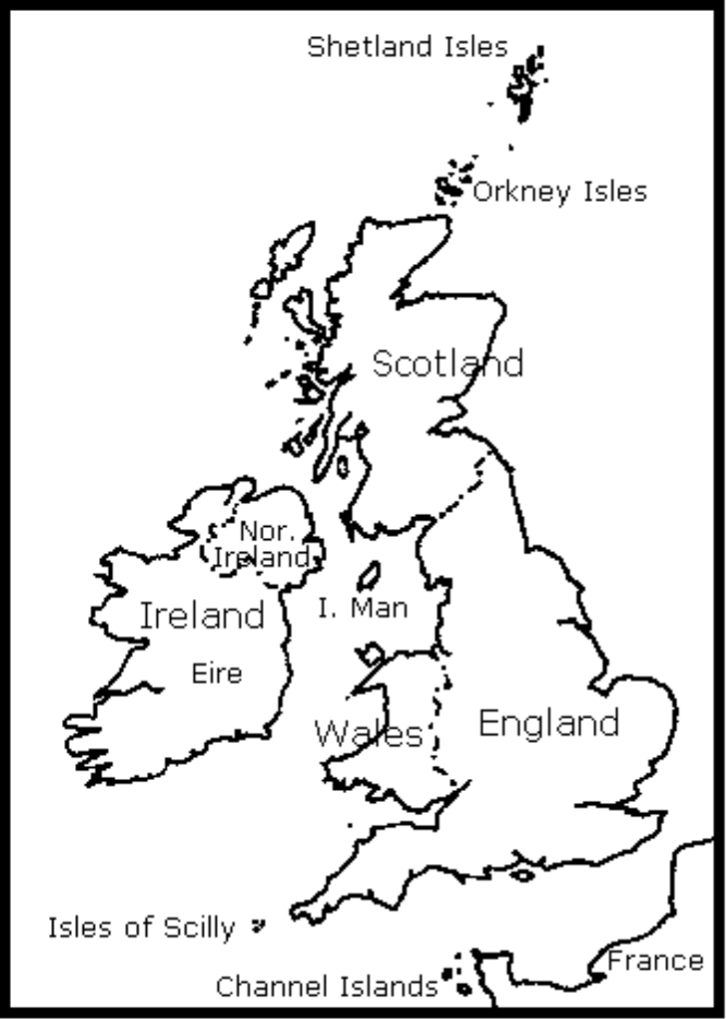 The Map of the British Isles
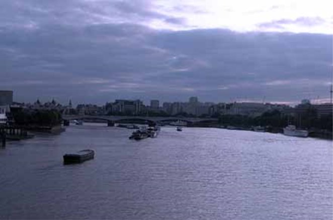
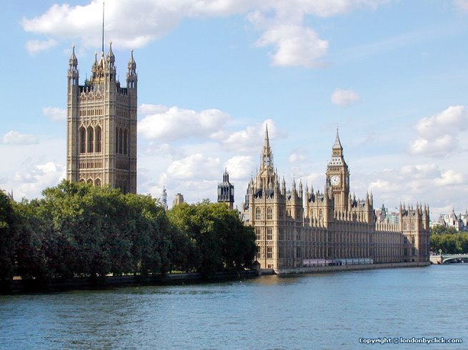
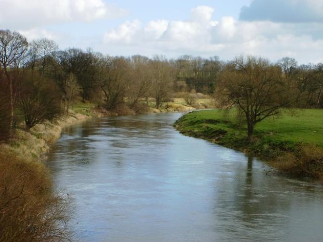
The Thames
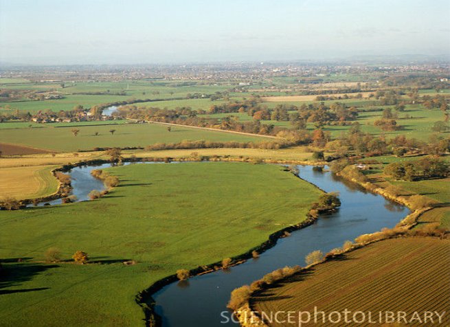
The Severn
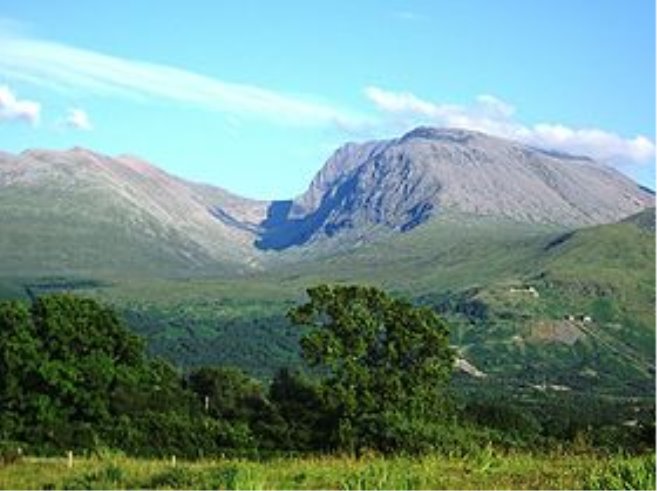
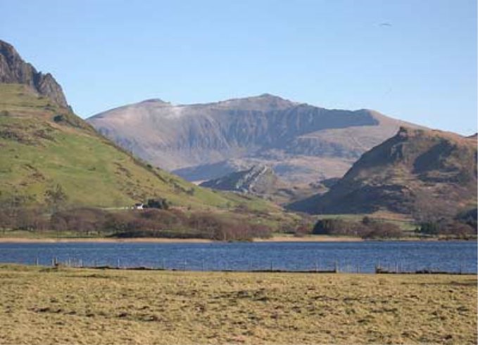
Ben Nevis
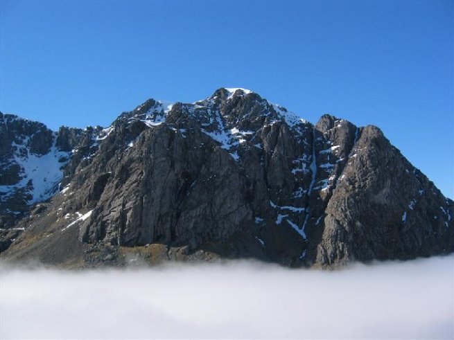
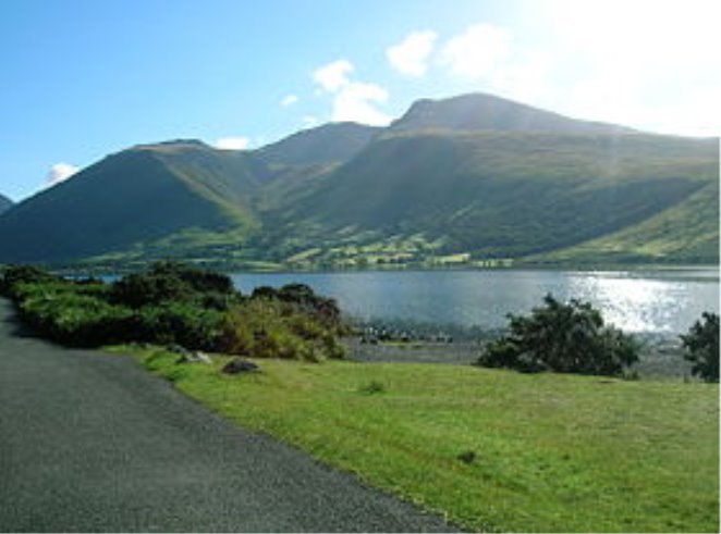
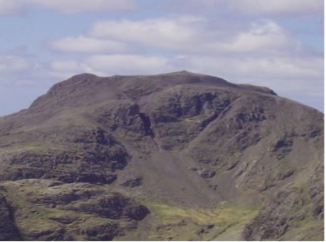
Scafell Pike
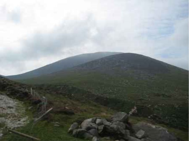
Slieve Donard
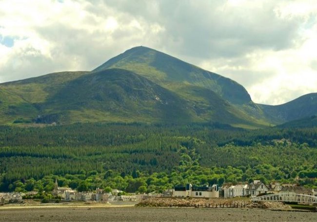
Snowdon


про публікацію авторської розробки
Додати розробку
