Урок "The United Kingdom of Great Britain and Northern Ireland"
Тема уроку. Об’єднане Королівство Великої Британії та Північної Ірландії
Мета уроку: ознайомити з новою лексикою теми уроку; формувати вміння вживати активну лексику в діалогічному та монологічному мовленні; ознайомити з правилами вживання неозначеного артикля “the” з географічними назвами; розвивати навички читання з метою отримання детальної інформації; формувати вміння працювати в групах та парах; розвивати пам'ять, увагу, логічне та критичне мислення; виховувати культуру спілкування; виховувати пізнавальний інтерес до культури та історії Великої Британії.
Обладнання: карта Об’єднаного Королівства, підручник Л. Биркун «Our English” 8 клас; зображення національних символів країни; додатки.
Тип уроку: засвоєння нових знань
Хід уроку
І. Підготовка до сприйняття іншомовного мовлення.
1. Організаційний момент. Привітання
T. Hello, my dear friends. I’m glad to see you at the lesson. I hope, it will be full of hard work, new experience and good mood. Are you ready to start working?
2. Повідомлення теми, мети і завдань уроку.
T. Our today’s lesson is the first lesson of the new theme “Great Britain”. And this first lesson will be devoted to the “United Kingdom of Great Britain and Northern Ireland” . During our lesson we will learn
- new words
- some geographical names
- the using of the definite article “the” with geographical names
We’ll have practice in
- reading
- speaking
- listening
- writing
3. Підготовка до сприйняття матеріалу. Введення в іншомовне середовище.
T. Let’s revise what we know about this country. Can you name any of British….
- cities/towns?
- places of interests?
- facts of history?
- famous people?
- traditions?
- food?
II. Основна частина уроку
- Подання нового лексичного матеріалу.
to be washed by the English Channel
to be separated the North Sea
to consist of the Irish Sea
the north the Atlantic Ocean
the west England
the east Scotland
the south Wales
T. Let’s practice in using of the new words in sentences. Complete the text with the new words.
Групова робота з картками (Додаток1)
The full name of the country is the United Kingdom of ________ and Northern Ireland. It consists of four parts: England, __________, Wales and Northern Ireland. Each part has its own capital.
The United Kingdom is ________ by the Atlantic _______ in the north-west, _______ and south-west. It is washed by the _________ in the south. In the west the country is washed by the ___________ and in the east by the _______.
Great Britain is __________ from Europe by the _______ Channel.
T. Read the text. Use the map to show the countries, seas, ocean, channel and capitals.
2. Ознайомлення з граматичним матералом. Вживання означеного артикля “the” з географічними назвами.
T. while speaking about the United Kingdom, we have mentioned some geographical names. Some of them were used with “the” , another ones without it. So, why? Let’s read the rules.
Робота з підручником. Open your books at page 139 §1.
- Закріплення граматичного матеріалу.
T. Now we are going to practice in using «the” with geographical names.
Two pupils will go to the blackboard and do the task on the cards.
Індивідуальна робота з картками.
Complete the sentences with “the” where necessary. (Додаток 2)
- … Jamaica is situated in … Caribbean Sea.
- The capital of … Australia is … Canberra.
- … Hoverla is the Highest peak of … Carpathian Mountains.
- We enjoyed the beautiful view of … Pacific Ocean from … San Francisco.
Complete the sentences with “the” where necessary. (Додаток 3)
- … Malta or officially … Republic of … Malta is a developed country.
- The capital of … France is … Paris.
- … Dnipro is the main river in … Ukraine.
- … Poland is situated in … Europe.
T. The other pupils will work in their copy books. Your task is exercise 3 page 34, you have to fill in the gaps with article “the” where necessary.
Самостійна письмова робота в зошитах.
T. I hope you are ready, so let’s check up. Read the sentences (the text) and explain using «the” with geographical names. Well done. Good for you.
4.Розвиток навичок читання.
T. and now we are going to read about the countries which made up the United Kingdom. You’ll be given the cards with scrambled dialogues about these countries. Your task is to put the phrases in the correct order to make up dialogues. The we’ll act them out. You will work in groups.
Робота в групах. Скласти діалоги.
Scotland (Додаток 4)
1.Where is Scotland situated? a) Edinburgh is the capital of Scotland.
2.How many people live in b) Yes, Scotland is the land of myths and
Scotland? mysteries.
3.What is the capital of the c) It is in the northern part of Great Britain.
country?
4.Are there many mountains in d) 5 million people live in Scotland.
Scotland?
5.Is Scotland the land of myths e)”Nessie” is said to be about 6 meters long.
and mysteries? The first report of the monster in Loch Ness
was in 565 A. D. Since 1934 thousands of people claimed to they had seen the monster.
6.What can you tell about a f) Scotland is full of mountains and lakes.
famous Loch Ness monster?
England (Додаток 5)
1.What is the population of a) It is the Severn. (388 km)
England?
2.Are there many rivers in b) This river is important for communication
England? and carrying goods.
3.What is the longest of them? c) Its population is 46 million people.
4.Which one is the most important? d) Yes, there are a lot of rivers in England.
5. What is the Thames important e)It is the Thames.
for?
Wales (Додаток 6)
1.What kind of country is Wales? a) It is a picturesque region of Wales. Snowdon is the highest mountain in England
and Wales.
2.Is the population of Wales more b) they are fond of folk music, singing,
than 5 million people? poetry and drama.
3.What is Snowdonia? c) It is the country of lakes and mountains.
4. What can you tell about the d) No, its population is only 3 million
capital city? people.
5.What are the Welsh people like? e) It is Cardiff. Cardiff is also the largest city
In Wales. It is situated in the mouth of the Taff River, so it’s also an important port.
Northern Ireland (Додаток 7)
1.Where is Northern Ireland a) The name “Ulster” is sometimes used as
situated? the equivalent to Northern Ireland.
2.What city is the capital of the b) Its main industries are the production of
country? linen and other textiles, clothing, shipbuilding and engineering.
3.What are the main industries c) It is in the northeast of the island Ireland.
in Northern Ireland?
4.What is the other name of the d) It is Belfast, the leading industrial centre
country? and a large port.
T. If you are ready, I would like to ask two pupils from each group go to the
blackboard and act these dialogues out.
Діалогічне мовлення
- Перевірка домашнього завдання. Монологічне мовлення.
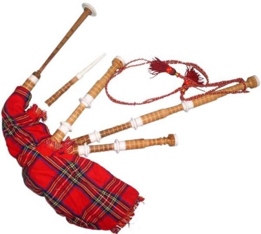
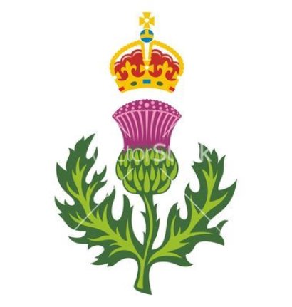
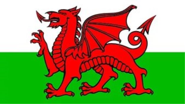
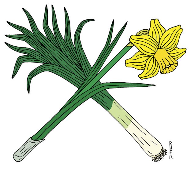
T. We have spoken a lot about United Kingdom of Great Britain and Northern Ireland. And now I would like to listen to your hometask. At home you’ve prepared the stories about the national symbols of Northern Ireland, Scotland, England and Wales. Let’s listen to them.
Розповіді учнів.
T. Your stories were wonderful. You’ve made a great job and your mark are …
III. Заключна частина уроку.
- Підведення підсумків уроку.
T. Let’s sum up our today’s work.
What was the theme of our lesson?
What can you tell me about Northern Ireland, Scotland, England and Wales?
What are the symbols of these countries?
What grammar material have we leant at this lesson?
Do we use “the” with the names of rivers, seas and oceans?
Do we use “the” with the names of countries, cities and streets?
- Пояснення домашнього завдання.
T. At home you will some more information about the United Kingdom of Great Britain and Northern Ireland (Ex. 3, p.17) and your writing task will be ex. 2, p.34
3.Оцінювання роботи учнів.
Додаток1
The full name of the country is the United Kingdom of ________ and Northern Ireland. It consist of four parts: England, __________, Wales and Northern Ireland. Each part has its own capital.
The United Kingdom is ________ by the Atlantic _______ in the north-west, _______ and south-west. It is washed by the _________ in the south. In the west the country is washed by the ___________ and in the east by the _______.
Great Britain is __________ from Europe by the _______ Channel.
Додаток 2
- … Jamaica is situated in … Caribbean Sea.
- The capital of … Australia is … Canberra.
- … Hoverla is the Highest peak of … Carpathian Mountains.
- We enjoyed the beautiful view of … Pacific Ocean from … San Francisco.
Додаток 3
- … Malta or officially … Republic of … Malta is a developed country.
- The capital of … France is … Paris.
- … Dnipro is the main river in … Ukraine.
- … Poland is situated in … Europe.
Scotland (Додаток 4)
1.Where is Scotland situated? a) Edinburgh is the capital of Scotland.
2.How many people live in b) Scotland is full of mountains and lakes.
Scotland?
3.What is the capital of the c) It is in the northern part of Great Britain.
country?
4.Are there many mountains in d) 5 million people live in Scotland.
Scotland?
5.What can you tell about a famous e)”Nessie” is said to be about 6 meters long.
Loch Ness monster? The first report of the monster in Loch Ness
was in 565 A. D. Since 1934 thousands of people claimed to they had seen the monster.
England (Додаток 5)
1.What is the population of a) It is the Severn. (388 km)
England?
2.Are there many rivers in b) This river is important for communication
England? and carrying goods.
3.What is the longest of them? c) Its population is 46 million people.
4.Which one is the most important? d) Yes, there are a lot of rivers in England.
5. What is the Thames important e)It is the Thames.
for?
Wales (Додаток 6)
1.What kind of country is Wales? a) It is a picturesque region of Wales. Snowdon is the highest mountain in England
and Wales.
2.Is the population of Wales more b) They are fond of folk music, singing,
than 5 million people? poetry and drama.
3.What is Snowdonia? c) It is the country of lakes and mountains.
4. What can you tell about the d) No, its population is only 3 million
capital city? people.
5.What are the Welsh people like? e) It is Cardiff. Cardiff is also the largest city
In Wales. It is situated in the mouth of the Taff River, so it’s also an important port.
Northern Ireland (Додаток 7)
1.Where is Northern Ireland a) The name “Ulster” is sometimes used as
situated? the equivalent to Northern Ireland.
2.What city is the capital of the b) Its main industries are the production of
country? textiles, clothing, shipbuilding and engineering.
3.What are the main industries c) It is in the northeast of the island Ireland.
in Northern Ireland?
4.What is the other name of the d) It is Belfast, the leading industrial centre
country? and a large port.
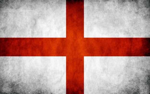
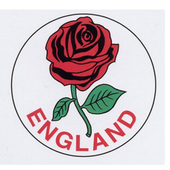
The national symbols of England
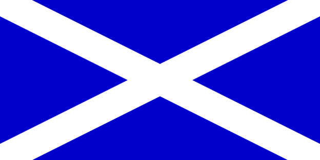
The national symbols of Scotland
The national symbols of Wales
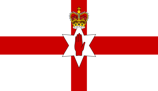
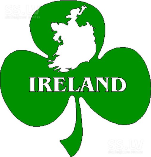
The national symbols of Northern Ireland
про публікацію авторської розробки
Додати розробку
